Plotting an Earthquake or Storm
Open a Storm or Quake file and select the event.
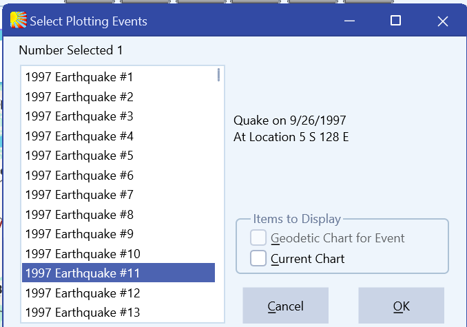
Click OK and you will then be taken to the main screen of Solar Maps and the symbol for the event will appear.
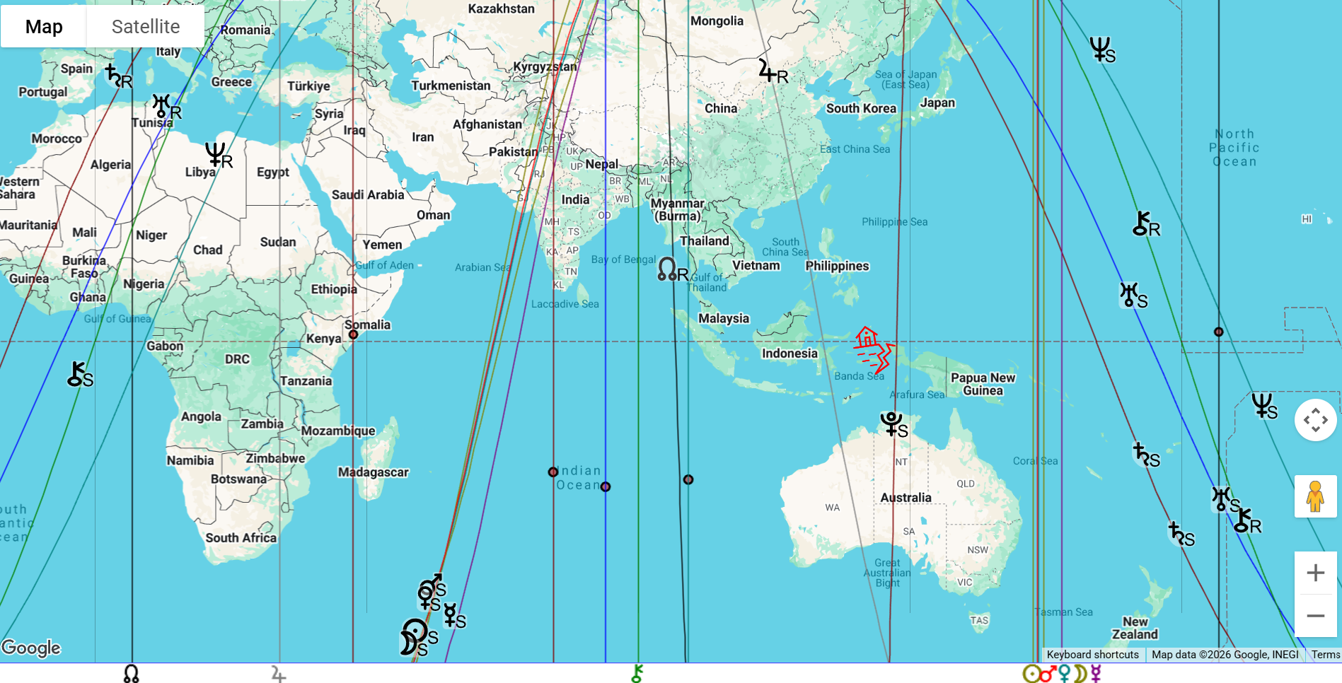
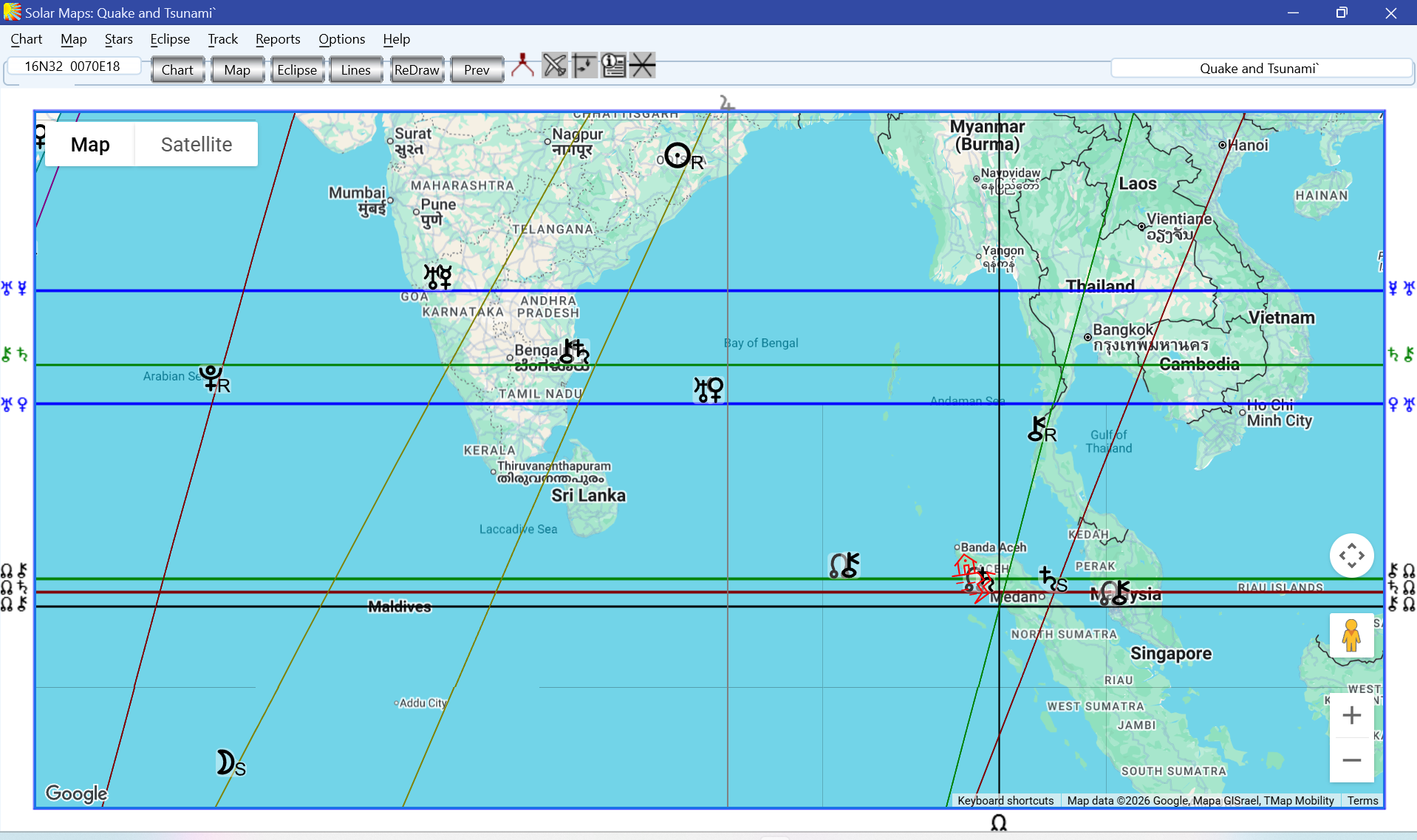
See below the map for the 9.1-9.3 quake and consequent tsunami in the sea near Banda Aceh, Northern Sumatra, Indonesia at 07:59 on 26 December 2004, which devastated many coastlines in the Indian Ocean. Below is the map for this time, with parans included.
Solar Fire X by Astrolabe Inc Copyright © All rights reserved.